The St-Arnaud Ancestral Farm
|
||||
|
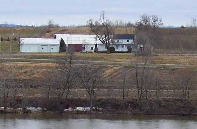
Ancestral Farm |
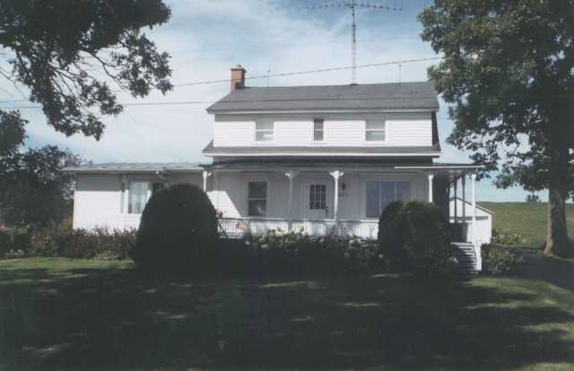
Ancestral House |
|
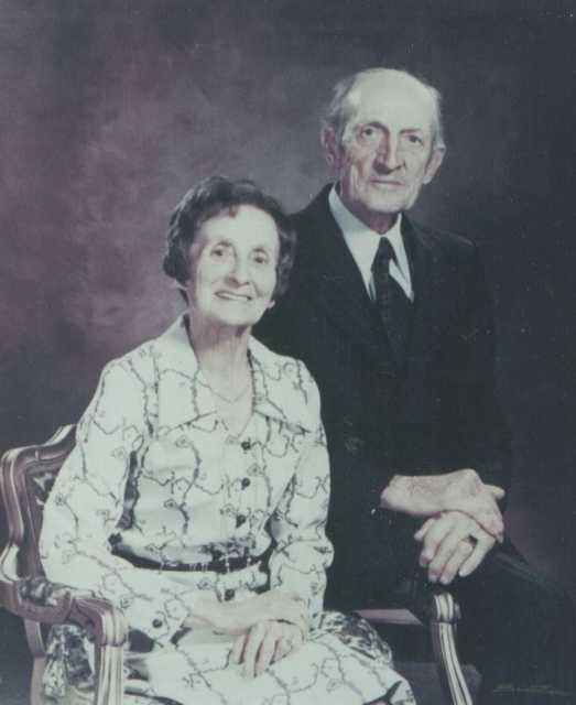
François St-Arnaud (1892-1997) and Rachel Massicotte
(1899-1976) All pictures courtesy of Yolande
St-Arneault
|
|
Locating the Ancestral Farm
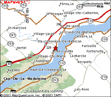
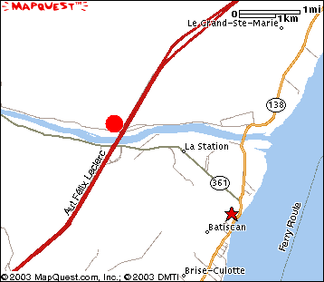
I was told that Autoroute 40 from Montréal to Québec (Autoroute Felix Leclerc) passes on a portion of the ancestral farm. The top-left picture was taken from the Autoroute 40 bridge as it crosses the Batiscan river (looking North-East). With this information, you can pretty much figure out the exact location of the farm on this mapquest-map. The red star on the map represents Batiscan and the farm would be right under the letter G in Ste-Geneviève-de-Batiscan. A more detailed map shows how the secondary road that passes in front of the house is on the North side of the Batiscan river. On this map, the red dot marks the location of the farm.
Back to Top
Last modified by Jacques L'Heureux on May 10, 2003